


IT’S A WHOLE NEW LOOK ON YOUR CHARTPLOTTERALL IN-ONE MAP SOLUTION FOR GARMIN CHARTPLOTTERS
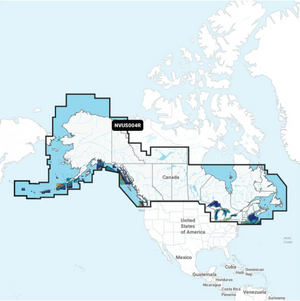
Access detail-rich mapping of coastal features, lakes, rivers and more. Integrated Garmin and Navionics content offers coverage for boaters worldwide.
DAILY CHART UPDATES Charts are constantly being enhanced with new and amended content — as many as 5,000 updates are made every day. The one-year included subscription gives you access to daily chart updates via the ActiveCaptain smart device app.
DEPTH RANGE SHADING High-resolution depth range shading lets you select up to 10 color-shaded options and view your designated target depths at a glance.
UP TO 1’ CONTOURS For improved fishing and navigation, up to 1' contours provide a clear depiction of bottom structure for improved fishing charts and enhanced detail in swamps, canals, harbors, marinas and more.Sign up to get the latest on sales, new releases and more …