

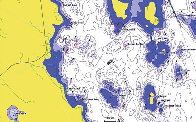
Experience unparalleled coverage and brilliant detail when you’re on the water. Canada LakeVü g3 Ultra inland maps provide industry-leading coverage, clarity and detail with integrated Garmin and Navionics content.
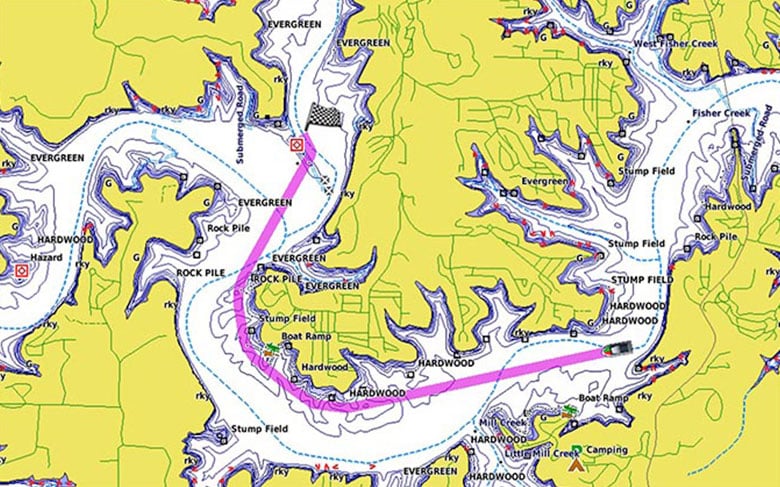
Whether you are fishing or cruising, select a spot, and get a route showing you the general path and nearby obstructions at a safe depth¹.
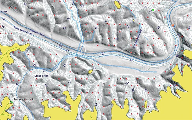
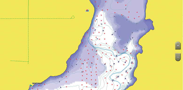
The High-resolution Relief Shading feature adds visual depth to the 2-D map, making it easier to interpret contours and find fish holding structure.
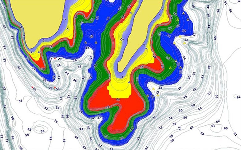
This feature displays high-resolution Depth Range Shading for up to 10 depth ranges so you can view your designated target depth.
To give a clear picture of shallow waters to avoid, this feature allows for shading at a user-defined depth.
This feature allows you to adjust your maps to the lake’s current water levels, giving you a better idea of spots that are either accessible or too shallow to explore.
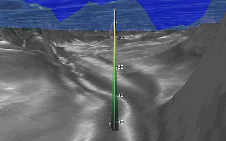
This underwater perspective shows 3-D representation of lake bottom and contours as seen from below the waterline. Interface with sonar data for a customized view.
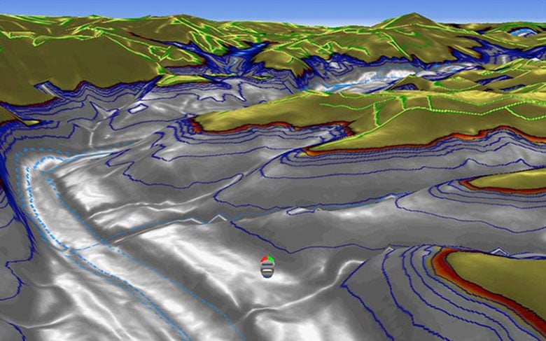
This view provides a 3-D representation of the surrounding area both above and below the waterline.
Download the ActiveCaptain® app to use OneChart™, which gives you access to all your charts and maps from your mobile device and even lets you purchase new ones.
Sign up to get the latest on sales, new releases and more …